Tag: remote sensing
-
Satellite Imagery : One Size Doesn’t Fit All
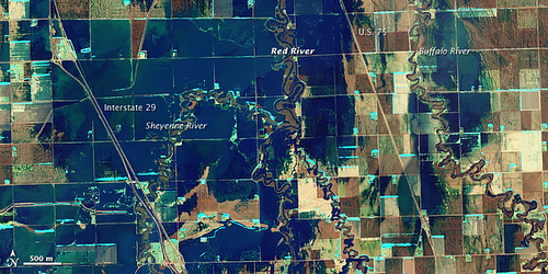
Since the launch of the first civilian observation satellite, Landsat-1, in 1972, satellite imagery has profoundly transformed diverse fields from cartography to meteorology. By providing an unparalleled aerial view of the Earth’s surface, satellites have enabled us to monitor, analyze, and understand our planet in unprecedented ways. To tap the true potential of satellite data…
-
What is GIS?
Geographic Information Systems (GIS) are computer-based systems that capture, store, analyze, and display spatial data. They can be run on local hardware or in the cloud, and enable the analysis of spatial data which refers to any information with a location or geographic component, such as the location of buildings, roads, or natural features. By…
-
Fires
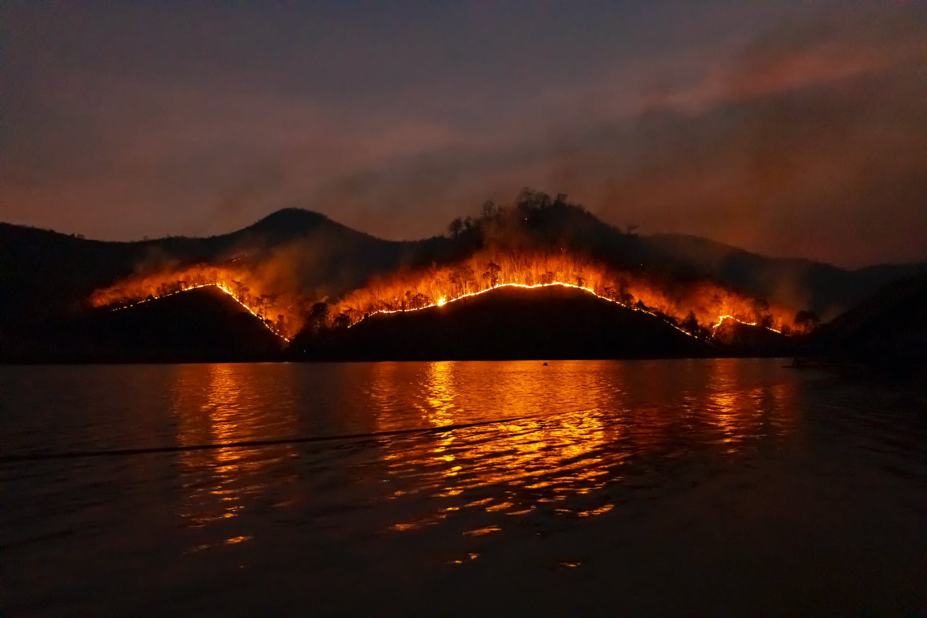
By taking the time to assess wildfire risks and create plans for prevention, protection, education and response a community can better prepare itself for wildfires and increase its resilience in the face of these disasters. With access to the right resources and knowledge, a community can be wild fire-ready and resilient in case of emergency.…
-
Tree Canopy Analysis in Northport, New York
It is crucial to comprehend the quality, quantity, and well-being of our trees in various settings, from dense forests to sparsely populated streetscapes, to enhance our environment. Trees play a pivotal role in providing numerous benefits and services to our planet, such as purifying the air, mitigating erosion, and reducing heat. Although evaluating tree canopies…
-
Landfills’ Legacy – don’t throw this weekly data story away
Weekly Data Story Waste is part of everyone’s lives. Some people strive to significantly reduce the amount of trash they generate while others don’t give a second thought to what goes into the rubbish bin. In the US, most of what goes into a trash can ultimately finds its way to one of the country’s…