-
Federal Cuts Threaten Free Satellite Imagery: The Future of NAIP and Landsat Earth Observation Programs at Risk
•
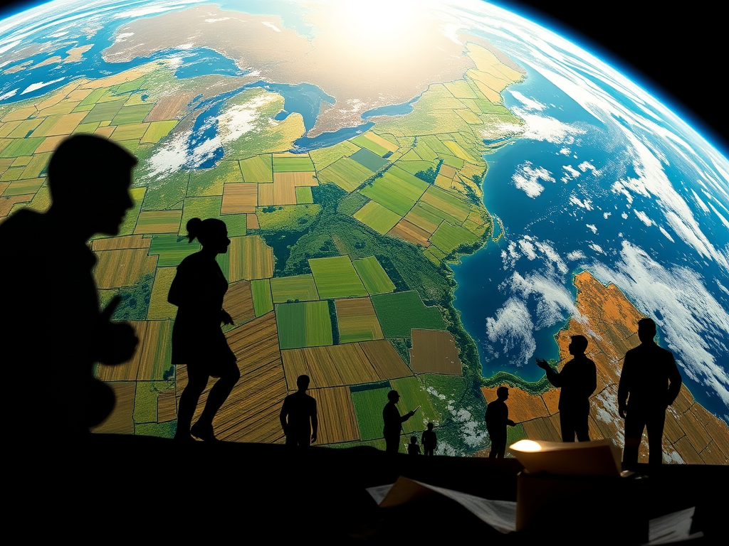
How Budget Reductions and Workforce Cuts Impact Agricultural Monitoring, Disaster Response, and Environmental Research The ongoing federal workforce reductions in the United States have raised significant concerns about the future of critical earth observation programs that provide free, publicly available imagery essential for agriculture, disaster response, scientific research, and countless commercial applications. Since February…
-
The AI Revolution in Geospatial Technology: Enhancing Efficiency, Accuracy, and Innovation
•
The current state of AI in geospatial technology represents a significant advancement in addressing historical challenges associated with geospatial data collection and analysis. By integrating AI-based GIS solutions, professionals can now work more efficiently and accurately, revolutionizing data gathering and cleansing processes. AI’s capabilities, such as predicting wildfire risk and identifying wetlands, showcase its…
-
Satellite Imagery : One Size Doesn’t Fit All
•
Since the launch of the first civilian observation satellite, Landsat-1, in 1972, satellite imagery has profoundly transformed diverse fields from cartography to meteorology. By providing an unparalleled aerial view of the Earth’s surface, satellites have enabled us to monitor, analyze, and understand our planet in unprecedented ways. To tap the true potential of satellite…